Free AI Choropleth Map Generator

Create Choropleth Maps, Customize Online with Smart AI Powered Generator
Template.net's Free AI Choropleth Map Generator helps you convert geographic and statistical data into structured Choropleth Map using simple text or voice input. Describe your dataset, such as regional values, country comparisons, or state-level statistics, and the AI automatically builds a color-coded Choropleth Map that highlights differences across locations. Customize regions, color scales, legends, values, tooltips, and map boundaries using an intuitive editor. Update your map anytime and export or share it instantly.
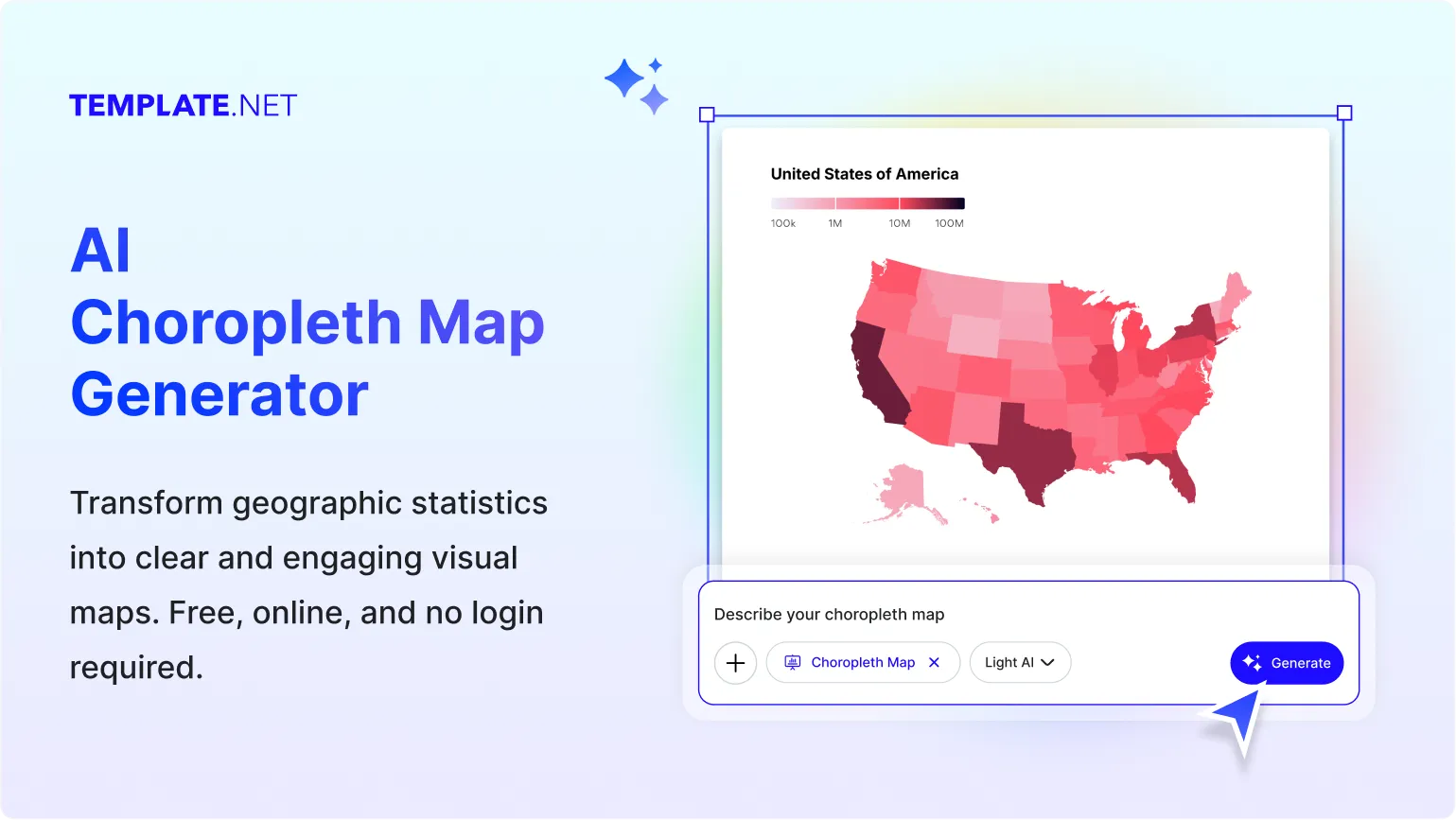
Design Data-Driven Choropleth Maps for Free
Everything you need to create geographic Choropleth Maps without advanced GIS or data visualization skills.
AI-Powered Choropleth Map Creation
Turn simple text or voice prompts into structured Choropleth Maps. The AI organizes geographic data into regions and applies meaningful color scales automatically.
Visualize Geographic Data Distribution Clearly
Display how values change across countries, states, or regions using color intensity to represent data differences in a clear and structured map format.
Location-Based Data Storytelling
Present population, economic, environmental, or social data through Choropleth Map that make regional comparisons easy to understand.
Flexible Map Editing Experience
Edit regions, labels, values, legends, color scales, tooltips, and map boundaries using a simple and intuitive visual editor.
Convert Data into Geographic Visuals
Transform spreadsheets, reports, or prompt-based data into Choropleth Map that automatically assign values to geographic regions.
Create Clear Regional Insights
Quickly identify high and low-performing regions, trends, and geographic patterns using structured Choropleth Maps.
Fully Customizable Choropleth Maps
Adjust color gradients, region boundaries, labels, data ranges, legends, titles, and map styles to match your visualization needs.
Quick Data Mapping and Label Control
Easily assign values to countries, states, or regions while keeping data structured, readable, and visually accurate.
Full Mode Presentation
Use Full Mode to examine your choropleth map with greater clarity, review regional color distribution, verify mapped data, and make adjustments before saving or sharing.
Multilingual Support
Generate Choropleth Maps in 20+ multiple languages, including English, Spanish, Hindi, Arabic, Chinese, Japanese, and more for global accessibility.
Real-Time Collaboration
Collaborate with teams, analysts, researchers, or educators by editing and refining Choropleth Maps together in real time.
Clean Geographic Visualization Layouts
Automatically structure geographic regions into a clear, color-coded layout that improves readability and comparison.
Embed Choropleth Maps Anywhere
Embed Choropleth Maps into websites, dashboards, reports, blogs, and educational platforms for seamless geographic data visualization.
Structured Geographic Data Organization
Organize regional datasets into structured formats that ensure accurate mapping and consistent visualization.
Export, Share, and Publish Instantly
Download Choropleth Map in PNG, JPG, and PDF formats. Share instantly via Email, LinkedIn, WhatsApp, Facebook, X (Twitter), Pinterest, or generate a live link or QR code.
Edit and Update Anytime
Update values, regions, color scales, or labels whenever data changes without recreating the entire map.
Add Regional Insights and Annotations
Include notes, highlights, or explanations for specific regions to provide deeper context in your Choropleth Map.
Access Anywhere
Create and manage Choropleth Map from desktop, tablet, or mobile browsers without installation.
How to Create a Free AI Choropleth Map
Describe your geographic data using a text or voice prompt, let the AI generate a structured Choropleth Map, customize regions and colors, and export it in seconds.
Step 1: Enter Your Prompt and Generate a Choropleth Map
Open the AI Choropleth Map Generator and describe your dataset, such as “Create a Choropleth Map showing GDP per capita across Asian countries.” Click Generate to instantly create a color-coded geographic map with structured regional values.
Step 2: Review and Refine the Choropleth Map
Review mapped regions, values, color gradients, legends, and boundaries. Adjust classification ranges, region labels, color scales, or data assignments to ensure accuracy and clear geographic interpretation.
Step 3: Customize, Export, and Share
Personalize the Choropleth Map, adjust styling and layout, then download it in PNG, JPG, or PDF formats. Share instantly via Email, LinkedIn, WhatsApp, Facebook, X (Twitter), Pinterest, or generate a live link or QR code.
Create Choropleth Maps in Seconds and Visualize Geographic Data Clearly
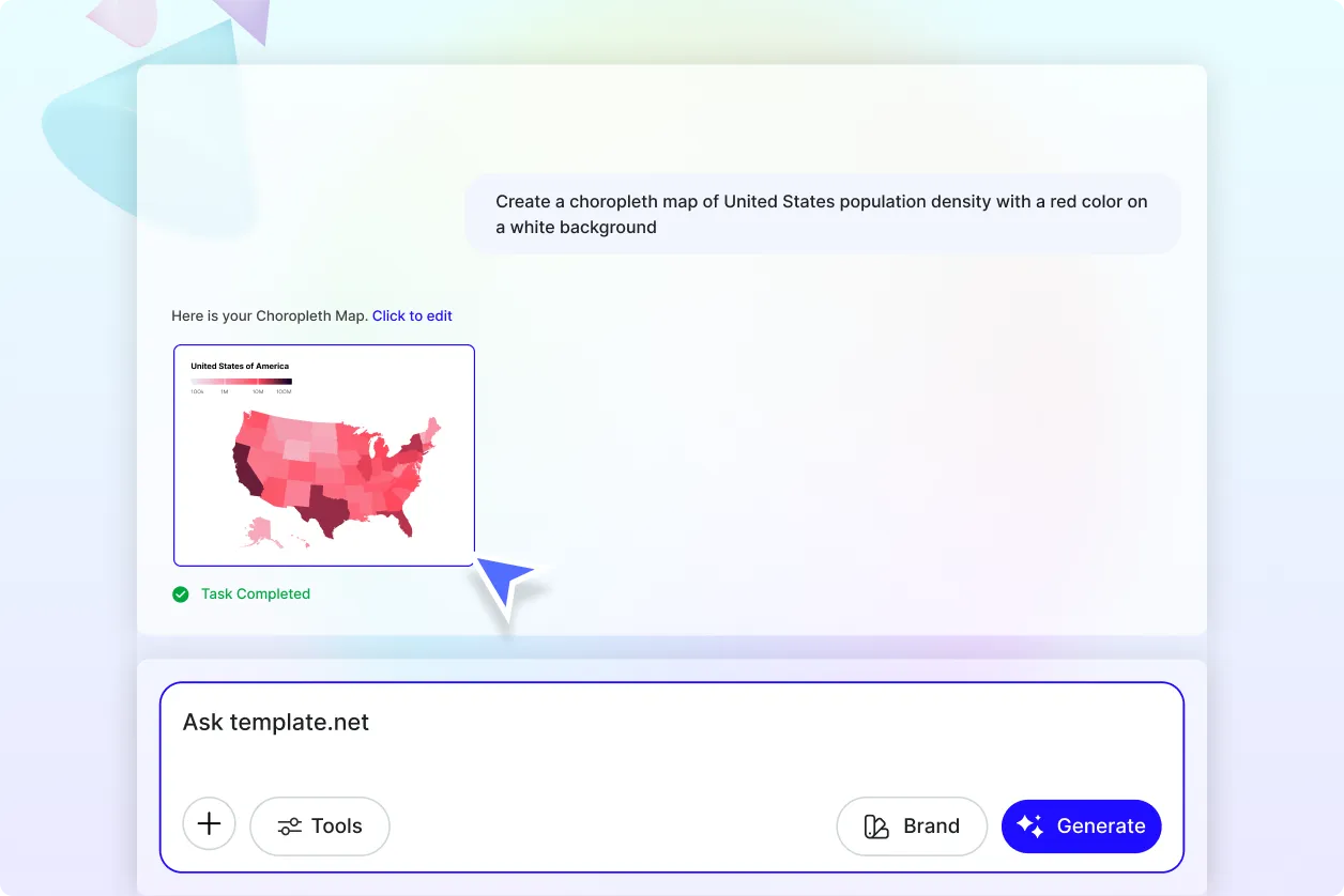
Turn Regional Data into Clear Visual Insights
Convert complex geographic datasets into Choropleth Map that show how values differ across countries, states, or regions. Use color intensity to quickly identify patterns, disparities, and regional performance differences.
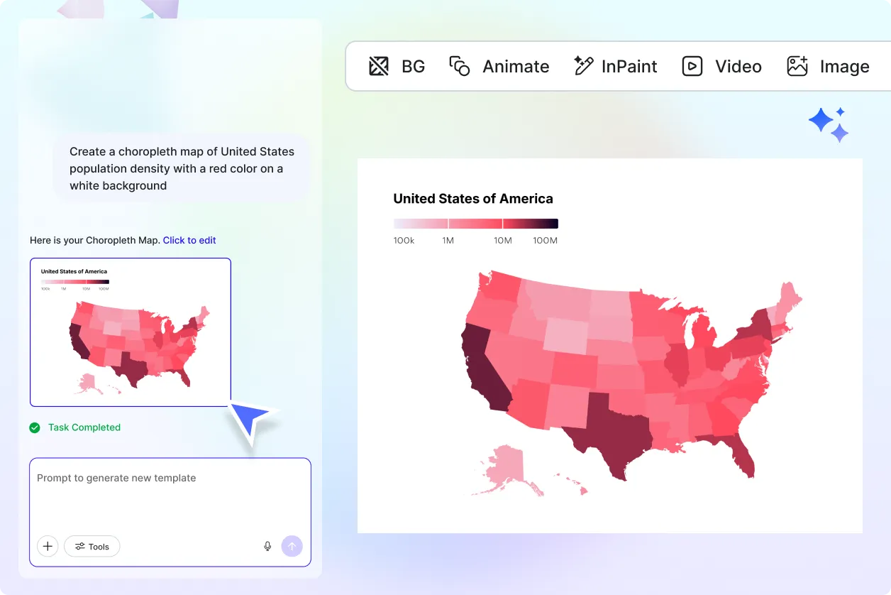
Adapt Choropleth Map for Any Industry
Customize Choropleth Map for economics, population studies, elections, healthcare, education, climate analysis, logistics, business expansion, and government reporting. Each map helps simplify regional comparisons and decision-making.
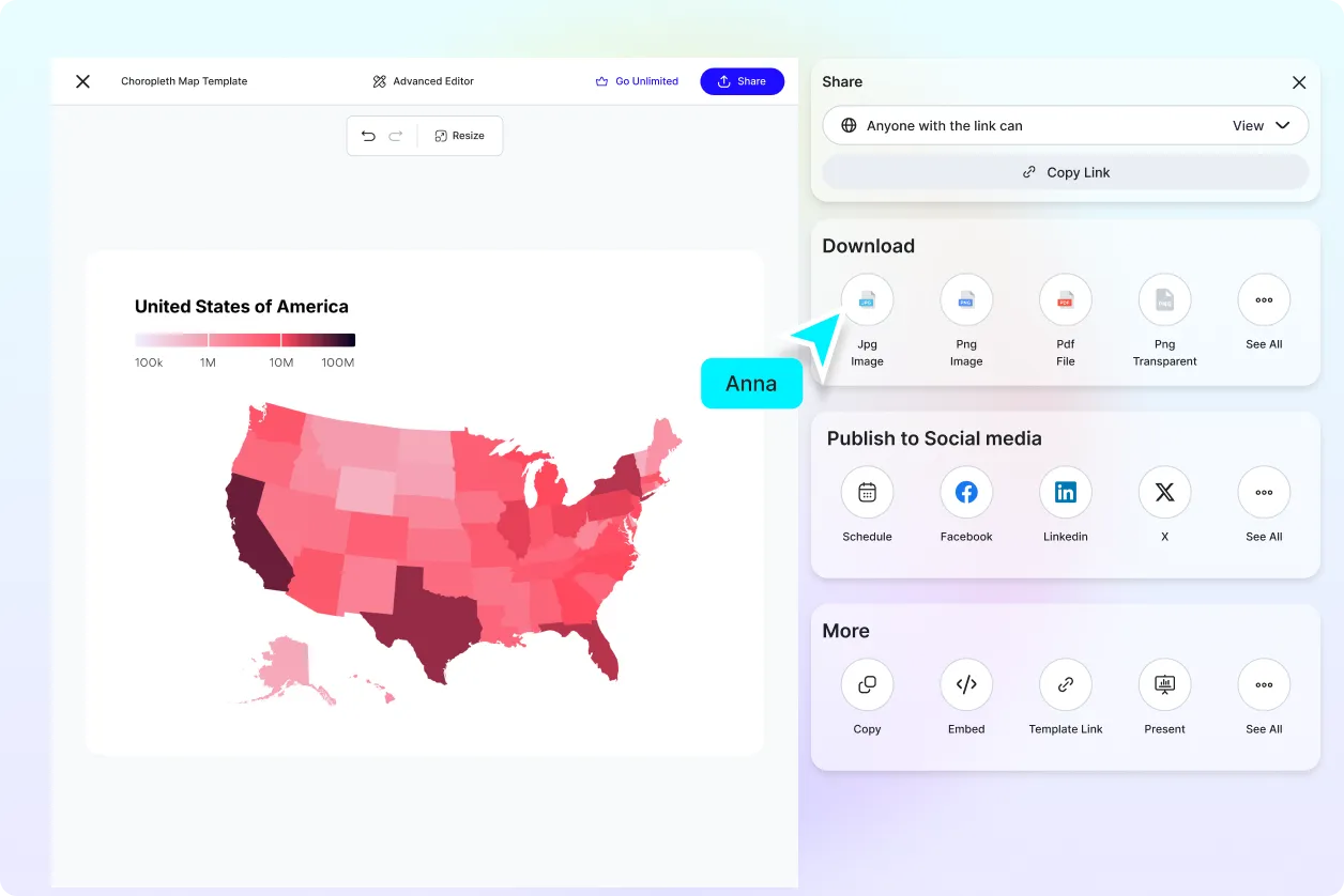
Share and Collaborate with Confidence
Share Choropleth Map with teams, stakeholders, researchers, or students to communicate geographic insights clearly. Export or share instantly via Email, LinkedIn, WhatsApp, Facebook, X (Twitter), Pinterest, or generate a live link or QR code for easy access.
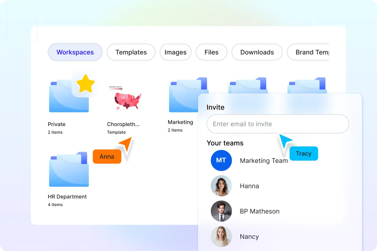
Organize and Update Geographic Visualizations Easily
Keep all Choropleth Map, datasets, and revisions organized in one place. Update regional values, boundaries, or classifications anytime without rebuilding the map from scratch.
