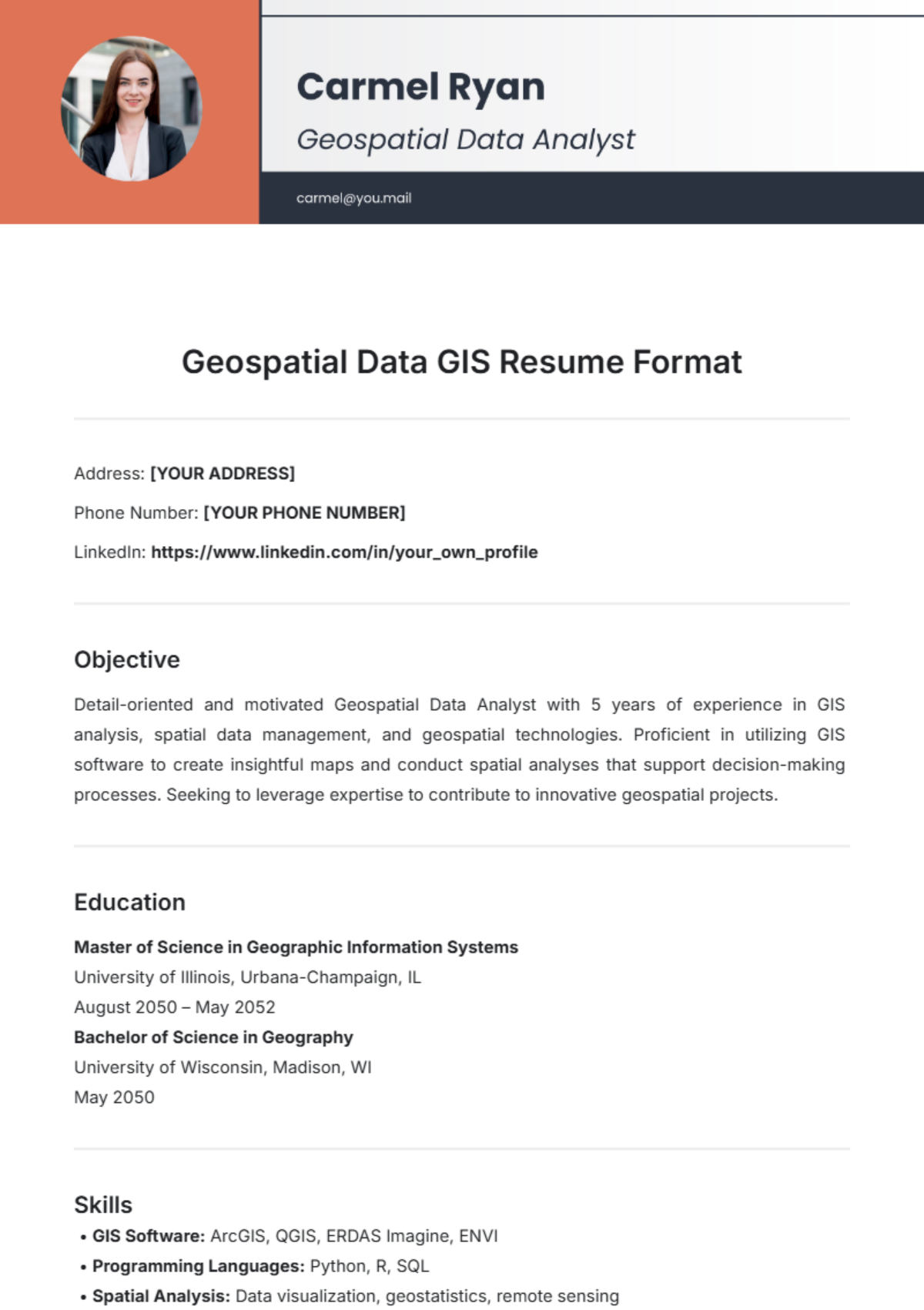
Free Geospatial Data GIS Resume Format
Address: [YOUR ADDRESS]
Phone Number: [YOUR PHONE NUMBER]
LinkedIn: https://www.linkedin.com/in/your_own_profile
Objective
Detail-oriented and motivated Geospatial Data Analyst with 5 years of experience in GIS analysis, spatial data management, and geospatial technologies. Proficient in utilizing GIS software to create insightful maps and conduct spatial analyses that support decision-making processes. Seeking to leverage expertise to contribute to innovative geospatial projects.
Education
Master of Science in Geographic Information Systems
University of Illinois, Urbana-Champaign, IL
August 2050 – May 2052
Bachelor of Science in Geography
University of Wisconsin, Madison, WI
May 2050
Skills
GIS Software: ArcGIS, QGIS, ERDAS Imagine, ENVI
Programming Languages: Python, R, SQL
Spatial Analysis: Data visualization, geostatistics, remote sensing
Database Management: PostGIS, MySQL, GeoServer
Project Management: Agile methodologies, stakeholder engagement
Certifications: GIS Professional (GISP), Esri Technical Certification
Professional Experience
Geospatial Data Analyst
Green City Planning Group, Chicago, IL
June 2052 – Present
Developed and maintained geospatial databases, ensuring data integrity and accuracy for city planning projects.
Conducted spatial analyses using ArcGIS to support urban development and environmental assessments, resulting in improved resource allocation.
Collaborated with cross-functional teams to develop interactive web maps and dashboards, enhancing public engagement and transparency.
GIS Technician
Nature Conservancy, Madison, WI
June 2050 – May 2052
Assisted in the collection and processing of spatial data for conservation projects, improving data collection efficiency by 30%.
Created detailed maps and reports to communicate spatial findings to stakeholders, facilitating informed decision-making.
Supported field teams with GIS tools and mobile applications for data collection, enhancing the accuracy of field data.
Projects
Urban Heat Island Mapping
Utilized remote sensing data to assess urban heat islands in Chicago, implementing predictive models that informed local climate policy decisions.
Tools used: ArcGIS, Python for data analysis, and visualization.
Watershed Management Plan
Developed a comprehensive GIS-based watershed management plan that improved stormwater management strategies for the city.
Collaborated with local government and stakeholders to incorporate findings into actionable plans.
Publications & Presentations
"Leveraging GIS for Sustainable Urban Development" – National Geographic Society Conference, 2053
"Remote Sensing Techniques for Environmental Monitoring" – Journal of Geographic Information Science, 2052
Professional Affiliations
Member, American Society for Photogrammetry and Remote Sensing (ASPRS)
Volunteer, GISCorps
References
Available upon request.
- 100% Customizable, free editor
- Access 1 Million+ Templates, photo’s & graphics
- Download or share as a template
- Click and replace photos, graphics, text, backgrounds
- Resize, crop, AI write & more
- Access advanced editor
Elevate your job application with the Geospatial Data GIS Resume Format Template from Template.net. This fully editable and customizable template allows you to showcase your skills and experience effortlessly. Create a professional resume tailored to your needs using our AI Editor Tool, ensuring your qualifications stand out in the competitive geospatial industry.


