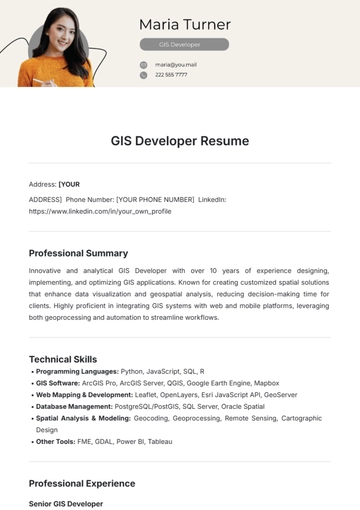
Free GIS Developer Resume
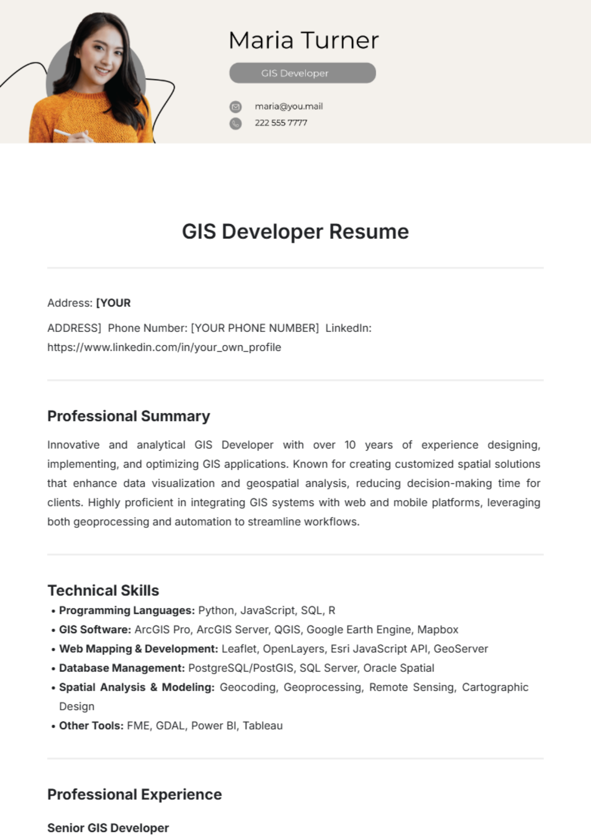
Address: [YOUR
ADDRESS] Phone Number: [YOUR PHONE NUMBER] LinkedIn: https://www.linkedin.com/in/your_own_profile
Professional Summary
Innovative and analytical GIS Developer with over 10 years of experience designing, implementing, and optimizing GIS applications. Known for creating customized spatial solutions that enhance data visualization and geospatial analysis, reducing decision-making time for clients. Highly proficient in integrating GIS systems with web and mobile platforms, leveraging both geoprocessing and automation to streamline workflows.
Technical Skills
Programming Languages: Python, JavaScript, SQL, R
GIS Software: ArcGIS Pro, ArcGIS Server, QGIS, Google Earth Engine, Mapbox
Web Mapping & Development: Leaflet, OpenLayers, Esri JavaScript API, GeoServer
Database Management: PostgreSQL/PostGIS, SQL Server, Oracle Spatial
Spatial Analysis & Modeling: Geocoding, Geoprocessing, Remote Sensing, Cartographic Design
Other Tools: FME, GDAL, Power BI, Tableau
Professional Experience
Senior GIS Developer
GeoData Solutions Inc. | San Francisco, CA | January 2055 - Present
Led the development of an enterprise-wide GIS platform that integrated with ArcGIS Server and improved spatial data access for 3,000+ users, enhancing data-driven decision-making capabilities.
Designed custom geoprocessing scripts in Python to automate map updates, reducing update time from 4 hours to 30 minutes.
Developed an interactive web mapping tool using Leaflet and Esri JavaScript API for real-time visualization of environmental data, supporting rapid response during natural disaster events.
Worked closely with city planning teams to implement GIS-based urban planning solutions, achieving a 25% improvement in project timelines through efficient data modeling and visualization.
Built and maintained a spatial database using PostgreSQL/PostGIS, handling multi-terabyte datasets with complex spatial relationships and ensuring data integrity.
GIS Analyst
SmartMap Consulting | New York, NY | January 2051 - December 2054
Conducted spatial analyses for environmental and infrastructure projects, providing critical insights for regional planning and environmental impact assessments.
Developed a series of Python scripts to automate data cleansing and geocoding processes, saving approximately 30 hours of manual work per month.
Created detailed, visually appealing maps for public reporting and internal decision-making, which were commended for clarity and accuracy.
Trained junior analysts on geospatial data manipulation techniques, contributing to the team's skills growth and project quality.
Education
Bachelor of Science in Geographic Information Science (GIS)
University of California, Berkeley | Berkeley, CA | Graduated: June 2050
Certifications
Esri ArcGIS Desktop Professional Certification | Issued: 2051
Certified Geographic Information Systems Professional (GISP) | Issued: 2052
Projects
Urban Planning Web Mapping Application – Developed a web mapping application to support urban planning efforts in high-density regions using Leaflet and PostgreSQL/PostGIS, which increased accessibility to real-time data for over 800 municipal employees and decision-makers.
Automated Data Integration Pipeline – Built an automated pipeline using Python and FME to integrate external data sources into the GIS system, reducing data preparation time by 60% and ensuring up-to-date spatial data for ongoing analysis.
Professional Affiliations
Member, Urban and Regional Information Systems Association (URISA)
Member, American Association of Geographers (AAG)
Additional Information
Languages: English, Spanish
Volunteer Work: GIS Volunteer, Global Mapping Initiative (2053-Present)
References
Available upon request.
- 100% Customizable, free editor
- Access 1 Million+ Templates, photo’s & graphics
- Download or share as a template
- Click and replace photos, graphics, text, backgrounds
- Resize, crop, AI write & more
- Access advanced editor
The GIS Developer Resume Template from Template.net is a fully editable, customizable solution tailored to showcase your geospatial skills. Designed for precision and professionalism, this resume template is editable in our Ai Editor Tool, allowing you to effortlessly personalize sections and formatting. Stand out in your field with a resume that highlights your expertise.
You may also like
- Simple Resume
- High School Resume
- Actor Resume
- Accountant Resume
- Academic Resume
- Corporate Resume
- Infographic Resume
- Sale Resume
- Business Analyst Resume
- Skills Based Resume
- Professional Resume
- ATS Resume
- Summary Resume
- Customer Service Resume
- Software Engineer Resume
- Data Analyst Resume
- Functional Resume
- Project Manager Resume
- Nurse Resume
- Federal Resume
- Server Resume
- Administrative Assistant Resume
- Sales Associate Resume
- CNA Resume
- Bartender Resume
- Graduate Resume
- Engineer Resume
- Data Science Resume
- Warehouse Resume
- Volunteer Resume
- No Experience Resume
- Chronological Resume
- Marketing Resume
- Executive Resume
- Truck Driver Resume
- Cashier Resume
- Resume Format
- Two Page Resume
- Basic Resume
- Manager Resume
- Supervisor Resume
- Director Resume
- Blank Resume
- One Page Resume
- Developer Resume
- Caregiver Resume
- Personal Resume
- Consultant Resume
- Administrator Resume
- Officer Resume
- Medical Resume
- Job Resume
- Technician Resume
- Clerk Resume
- Driver Resume
- Data Entry Resume
- Freelancer Resume
- Operator Resume
- Printable Resume
- Worker Resume
- Student Resume
- Doctor Resume
- Merchandiser Resume
- Architecture Resume
- Photographer Resume
- Chef Resume
- Lawyer Resume
- Secretary Resume
- Customer Support Resume
- Computer Operator Resume
- Programmer Resume
- Pharmacist Resume
- Electrician Resume
- Librarian Resume
- Computer Resume
- IT Resume
- Experience Resume
- Instructor Resume
- Fashion Designer Resume
- Mechanic Resume
- Attendant Resume
- Principal Resume
- Professor Resume
- Safety Resume
- Waitress Resume
- MBA Resume
- Security Guard Resume
- Editor Resume
- Tester Resume
- Auditor Resume
- Writer Resume
- Trainer Resume
- Advertising Resume
- Harvard Resume
- Receptionist Resume
- Buyer Resume
- Physician Resume
- Scientist Resume
- 2 Page Resume
- Therapist Resume
- CEO resume
- General Manager Resume
- Attorney Resume
- Project Coordinator Resume
- Bus Driver Resume
- Cook Resume
- Artist Resume
- Pastor Resume
- Recruiter Resume
- Team Leader Resume
- Apprentice Resume
- Police Resume
- Military Resume
- Personal Trainer Resume
- Contractor Resume
- Dietician Resume
- First Job Resume
- HVAC Resume
- Psychologist Resume
- Public Relations Resume
- Support Specialist Resume
- Computer Technician Resume
- Drafter Resume
- Foreman Resume
- Underwriter Resume
- Photo Resume
- Teacher Resume
- Modern Resume
- Fresher Resume
- Creative Resume
- Internship Resume
- Graphic Designer Resume
- College Resume

