Free Special Analyst GIS Resume Layout
Address: [YOUR ADDRESS]
Phone Number: [YOUR PHONE NUMBER]
LinkedIn: https://www.linkedin.com/in/your_own_profile
Professional Summary
Detail-oriented GIS Analyst with over 5 years of experience in spatial analysis, data visualization, and geographic information system technologies. Proficient in using GIS software such as ArcGIS and QGIS to create, manage, and analyze geospatial data. Strong analytical skills with a proven ability to solve complex problems and deliver actionable insights.
Technical Skills
GIS Software: ArcGIS Pro, QGIS, ERDAS Imagine
Programming Languages: Python, R, SQL
Data Management: Spatial databases (PostGIS, GeoDB), ArcSDE
Data Visualization: Tableau, Power BI
Cartography: Map design and visualization principles
Remote Sensing: Image processing, satellite imagery analysis
Other Tools: Microsoft Office Suite, Google Earth, AutoCAD
Professional Experience
GIS Analyst
Urban Planning Solutions – Portland, OR 97201
June 2055 – Present
Conduct spatial analysis to support urban planning and environmental assessments using ArcGIS, enhancing decision-making for city projects.
Develop and maintain geospatial databases to ensure data integrity and accessibility, successfully increasing data retrieval speed by 30%.
Collaborate with cross-functional teams to create detailed maps and visualizations for presentations and reports, resulting in clearer communication of project goals to stakeholders.
Automate GIS workflows using Python scripts, increasing efficiency by 40% and reducing manual data entry errors.
Junior GIS Analyst
Environmental Research Group – Portland, OR 97201
January 2051 – May 2055
Assisted in data collection, digitization, and spatial analysis for environmental impact assessments and urban development projects.
Created maps and reports for clients, enhancing understanding of geospatial data and supporting grant applications.
Conducted field surveys and data validation to ensure accuracy in geospatial datasets, which improved the reliability of project outcomes.
Education
Bachelor of Science in Geography
State University – Cityville, State
Graduated May 2050
Relevant Coursework: Geographic Information Systems, Remote Sensing, Spatial Analysis, Cartography
Certifications
Certified Geographic Information Systems Professional (GISP)
ESRI Technical Certification
Google Data Analytics Certificate
Projects
City Green Space Analysis: Led a project to analyze green space distribution in Cityville, resulting in a 15% increase in community park accessibility. Utilized ArcGIS for spatial analysis and data visualization.
Flood Risk Assessment Model: Developed a flood risk assessment model for the Cityville area using remote sensing data, which contributed to improved urban planning and disaster preparedness strategies.
Professional Affiliations
Member, Urban and Regional Information Systems Association (URISA)
Member, Geographic Information Science & Technology (GIST)
References
Available upon request.
- 100% Customizable, free editor
- Access 1 Million+ Templates, photo’s & graphics
- Download or share as a template
- Click and replace photos, graphics, text, backgrounds
- Resize, crop, AI write & more
- Access advanced editor
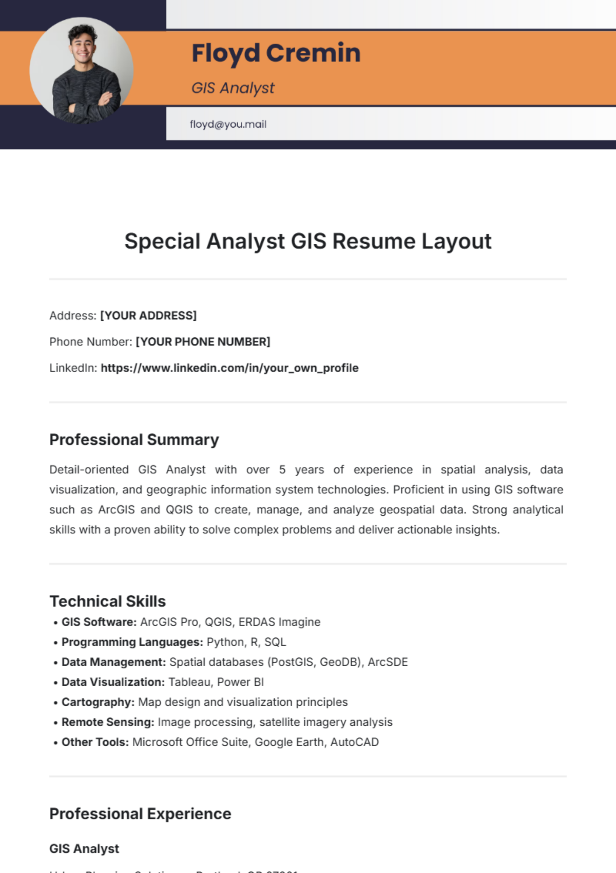
Elevate your job application with the Special Analyst GIS Resume Layout Template from Template.net. This fully customizable template allows you to showcase your skills and experience effortlessly. Easily editable in our AI Editor Tool, you can modify layouts, colors, and fonts to create a standout resume tailored to your unique style and expertise.
You may also like
- Simple Resume
- High School Resume
- Actor Resume
- Accountant Resume
- Academic Resume
- Corporate Resume
- Infographic Resume
- Sale Resume
- Business Analyst Resume
- Skills Based Resume
- Professional Resume
- ATS Resume
- Summary Resume
- Customer Service Resume
- Software Engineer Resume
- Data Analyst Resume
- Functional Resume
- Project Manager Resume
- Nurse Resume
- Federal Resume
- Server Resume
- Administrative Assistant Resume
- Sales Associate Resume
- CNA Resume
- Bartender Resume
- Graduate Resume
- Engineer Resume
- Data Science Resume
- Warehouse Resume
- Volunteer Resume
- No Experience Resume
- Chronological Resume
- Marketing Resume
- Executive Resume
- Truck Driver Resume
- Cashier Resume
- Resume Format
- Two Page Resume
- Basic Resume
- Manager Resume
- Supervisor Resume
- Director Resume
- Blank Resume
- One Page Resume
- Developer Resume
- Caregiver Resume
- Personal Resume
- Consultant Resume
- Administrator Resume
- Officer Resume
- Medical Resume
- Job Resume
- Technician Resume
- Clerk Resume
- Driver Resume
- Data Entry Resume
- Freelancer Resume
- Operator Resume
- Printable Resume
- Worker Resume
- Student Resume
- Doctor Resume
- Merchandiser Resume
- Architecture Resume
- Photographer Resume
- Chef Resume
- Lawyer Resume
- Secretary Resume
- Customer Support Resume
- Computer Operator Resume
- Programmer Resume
- Pharmacist Resume
- Electrician Resume
- Librarian Resume
- Computer Resume
- IT Resume
- Experience Resume
- Instructor Resume
- Fashion Designer Resume
- Mechanic Resume
- Attendant Resume
- Principal Resume
- Professor Resume
- Safety Resume
- Waitress Resume
- MBA Resume
- Security Guard Resume
- Editor Resume
- Tester Resume
- Auditor Resume
- Writer Resume
- Trainer Resume
- Advertising Resume
- Harvard Resume
- Receptionist Resume
- Buyer Resume
- Physician Resume
- Scientist Resume
- 2 Page Resume
- Therapist Resume
- CEO resume
- General Manager Resume
- Attorney Resume
- Project Coordinator Resume
- Bus Driver Resume
- Cook Resume
- Artist Resume
- Pastor Resume
- Recruiter Resume
- Team Leader Resume
- Apprentice Resume
- Police Resume
- Military Resume
- Personal Trainer Resume
- Contractor Resume
- Dietician Resume
- First Job Resume
- HVAC Resume
- Psychologist Resume
- Public Relations Resume
- Support Specialist Resume
- Computer Technician Resume
- Drafter Resume
- Foreman Resume
- Underwriter Resume
- Photo Resume
- Teacher Resume
- Modern Resume
- Fresher Resume
- Creative Resume
- Internship Resume
- Graphic Designer Resume
- College Resume
